Things have been busy with the RRPO lately. Last month, I posted a request for a new RRPO Secretary. It didn’t take long to get a candidate. On Thursday, March 4, the board met to vote on this new secretary as well as a few other administrative issues.
So, we’d like to welcome our new RRPO Secretary – Richard Schwartz – to our board. We look forward to his help in keeping the Ridge Route in good repair and getting it fully open again.
We have also finally settled on a date for the next CUTRR. It will be held on April 25th, starting at 10 am. The meeting location is TBD as well as additional details regarding any requirements will be announced soon. If you’re interested in joining us, please let us know beforehand.
An event, which is also a fundraiser for the RRPO, is coming up this month. A trail race run, called the Ridge Route Ultra, will be held on Saturday, March 14. The event will go nearly the entire length of the roadway, from near Martin’s to near Neenach.
On Saturday, April 4 at 7 pm, I will be giving a presentation at the Ridge Route Communities Museum regarding the status of the Ridge Route and how others can help. For more information regarding the museum, click here!
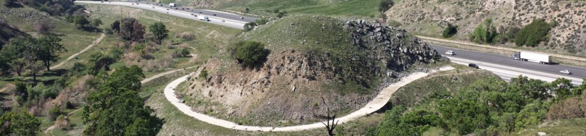
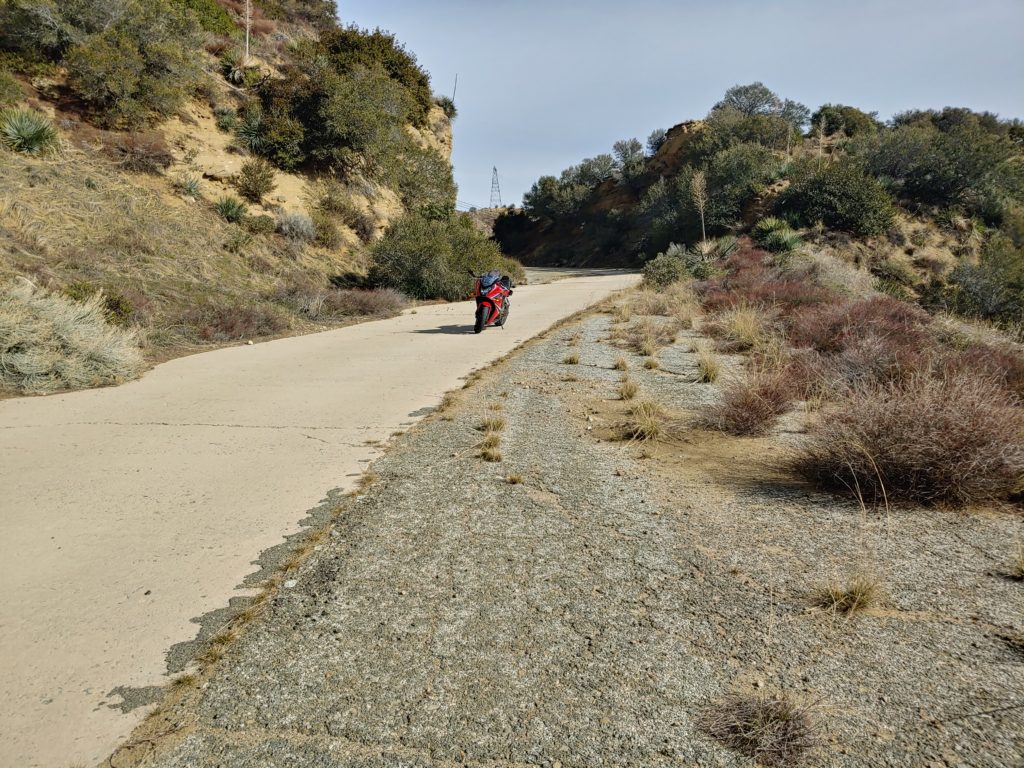
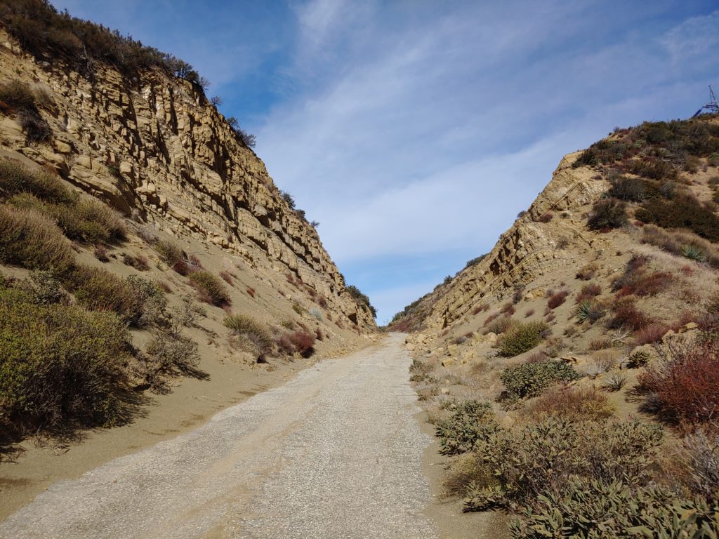
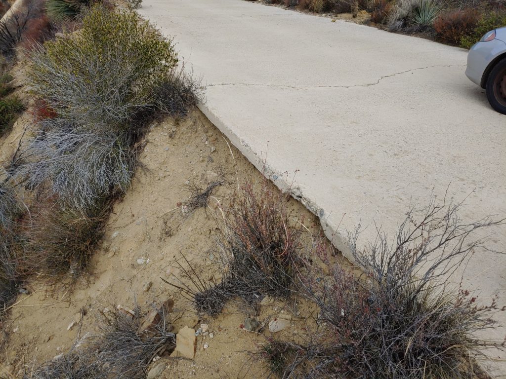
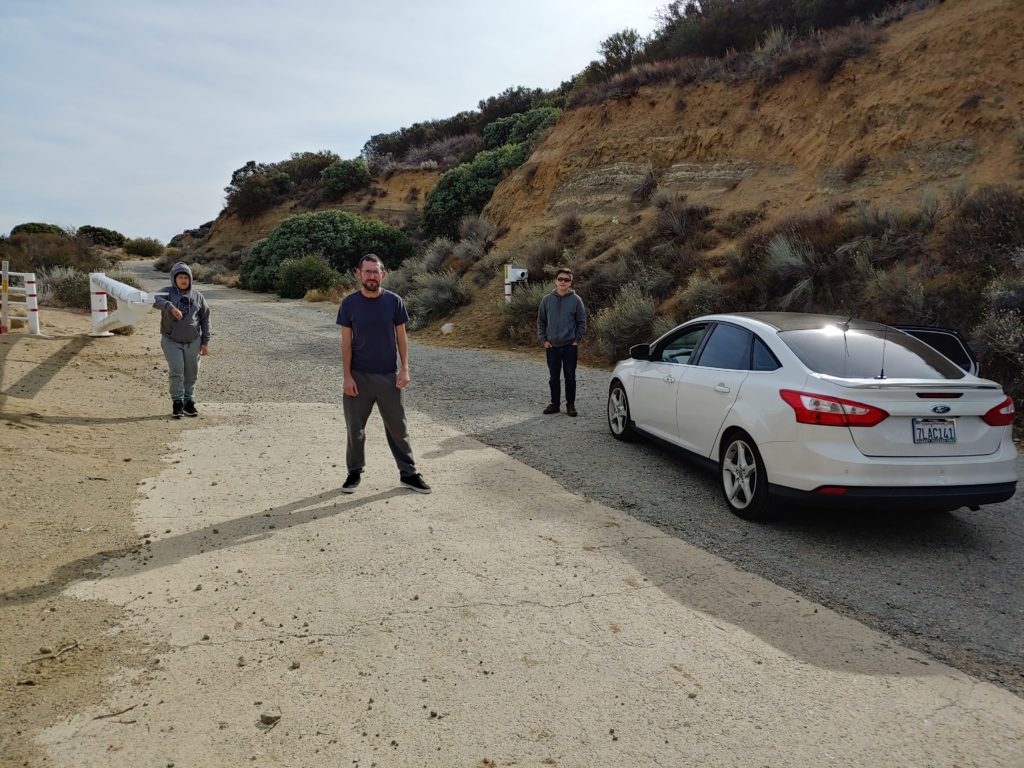
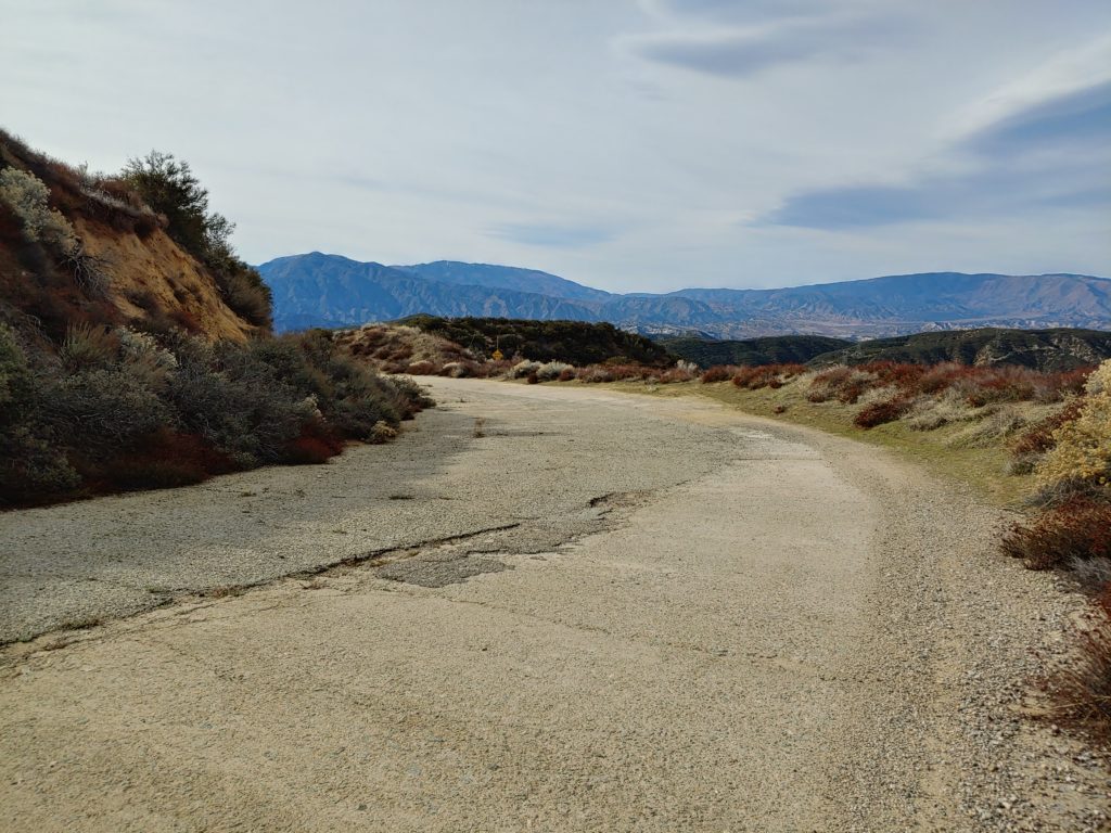
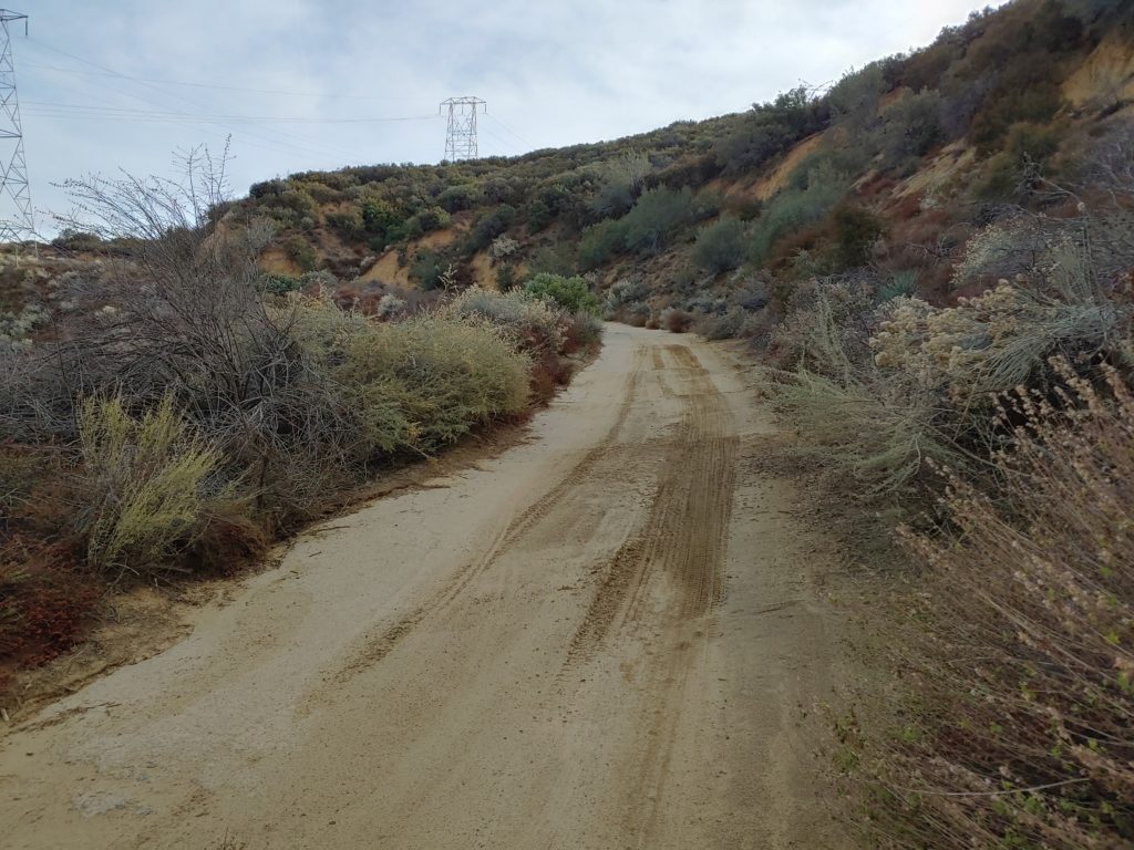
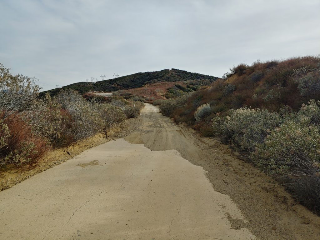
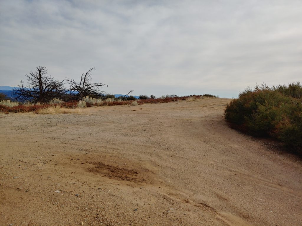
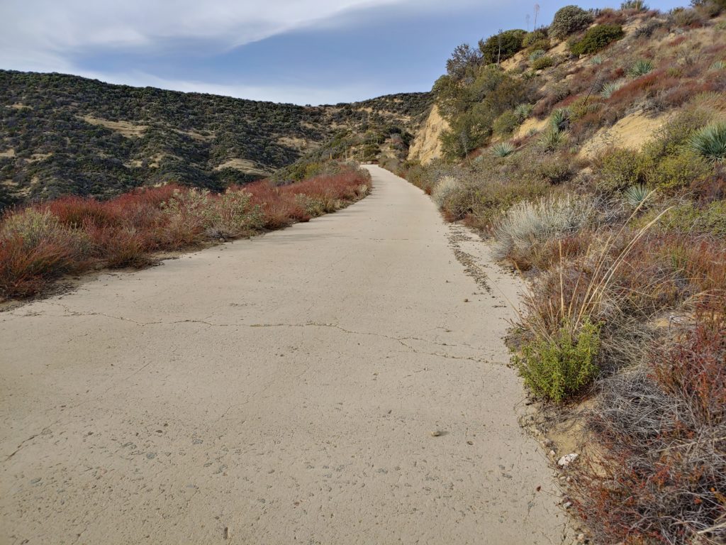
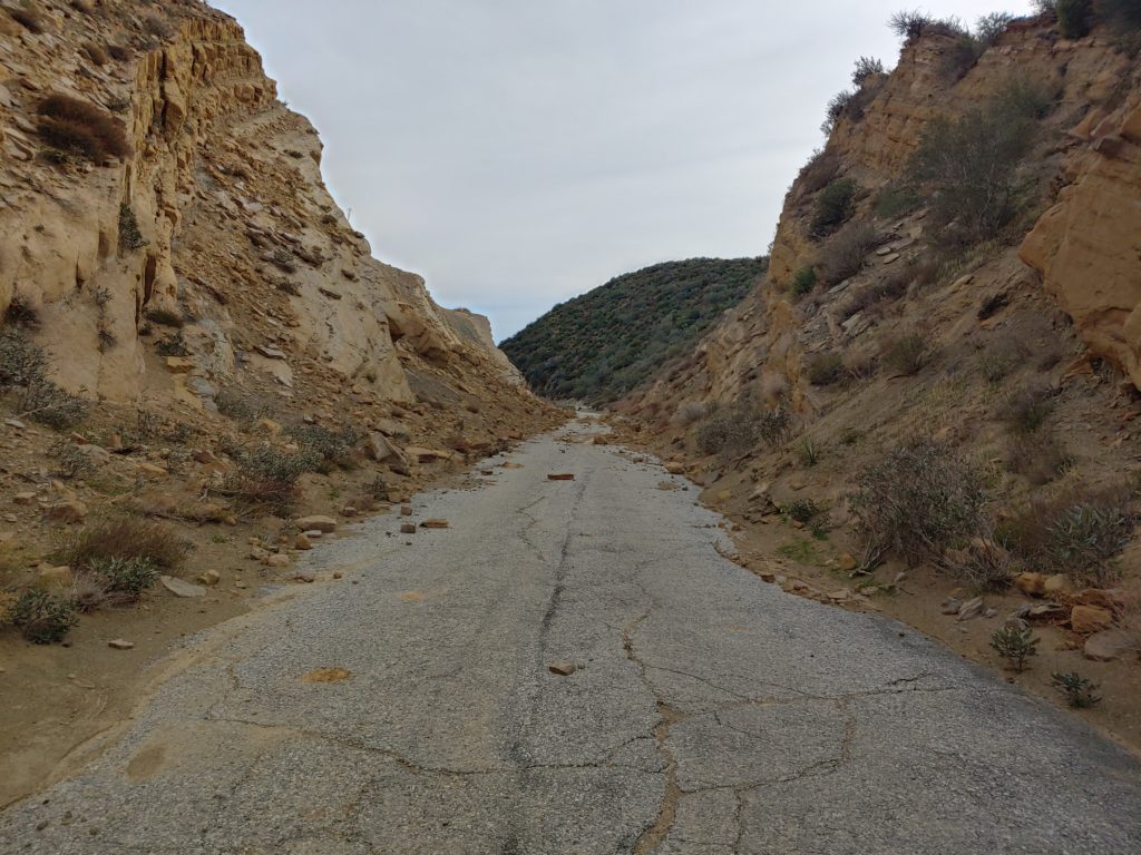
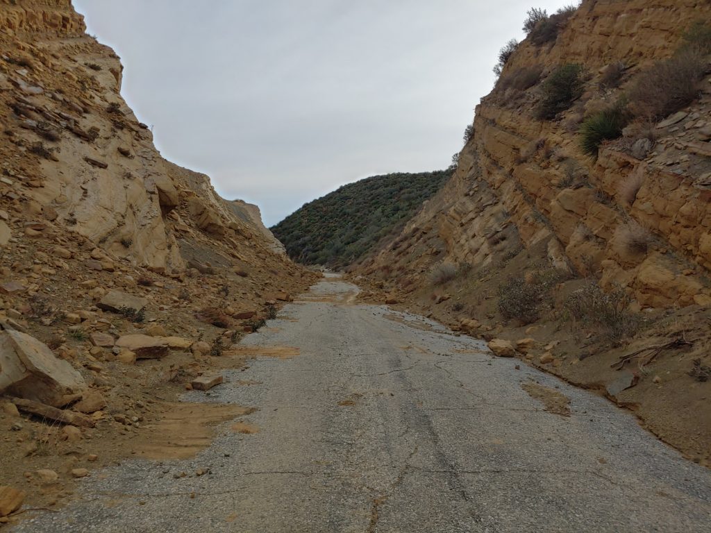
As to the roadway itself, the gates are still closed, though the northern gate has been compromised. The USFS is aware of the problem and it will hopefully be fixed somewhat soon. The southern gate remains closed, so through travel is still not possible. A section of roadway, at the south end of the Reservoir Hill grade, has been undermined by pipeline work. Unfortunately, it is also a section which has nearly pristine concrete. We are working with the USFS to get this corrected as soon as possible. The northern end of the roadway, from the Liebre Maintenance Station to Sandbergs has sections of asphalt that are degrading. Hopefully, we will be able to get some patches repaired, which will go a long way to protecting the remaining sections.
Like this:
Like Loading...