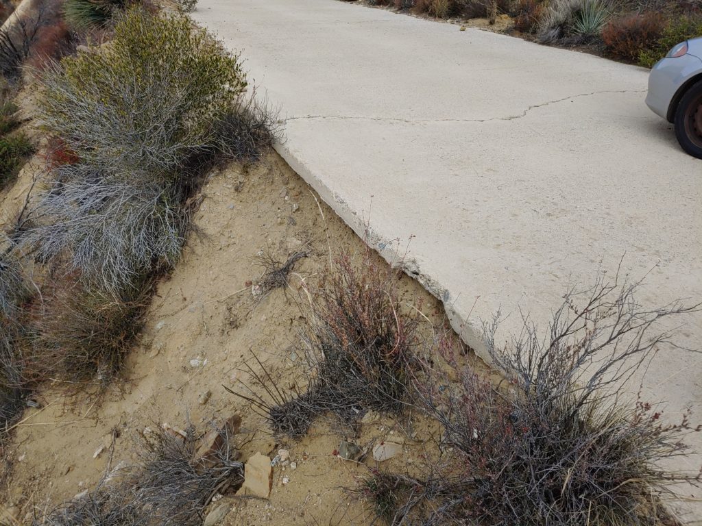
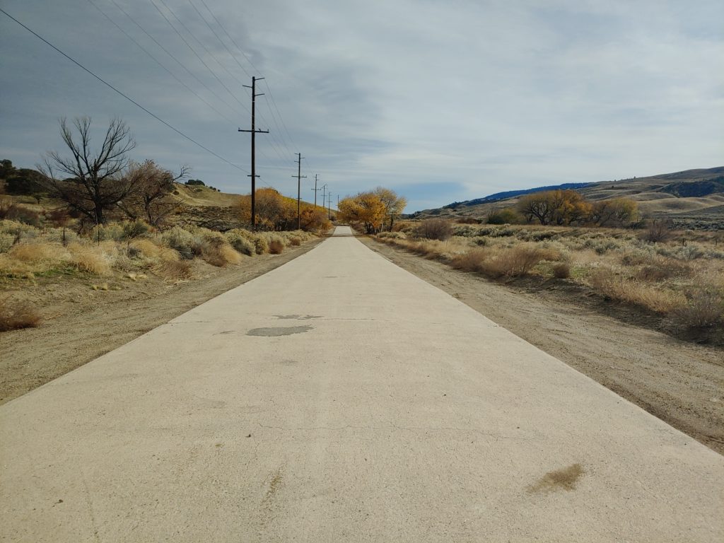
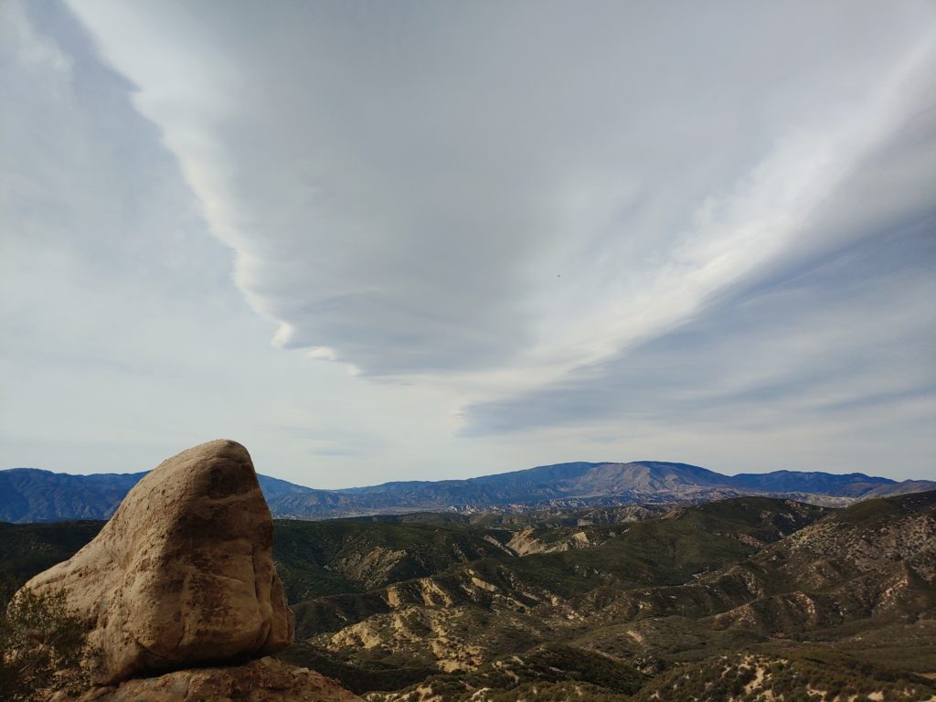
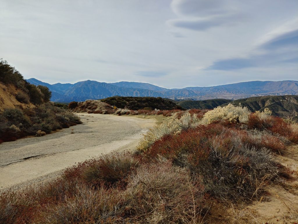
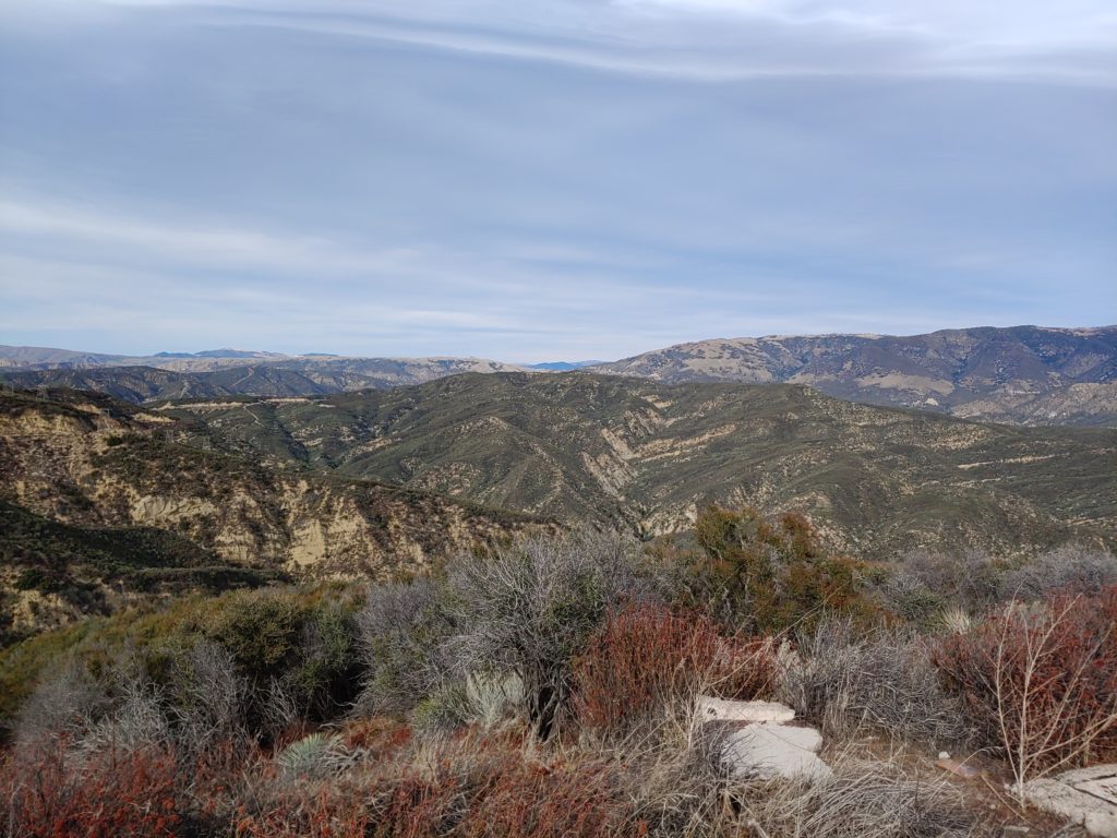
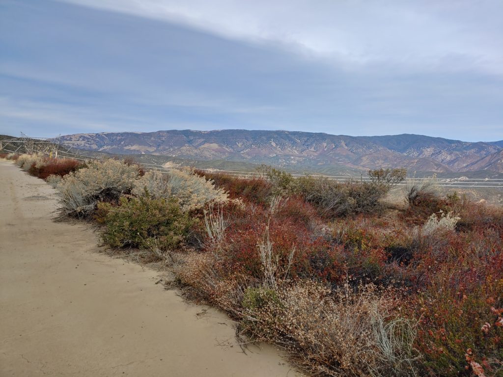
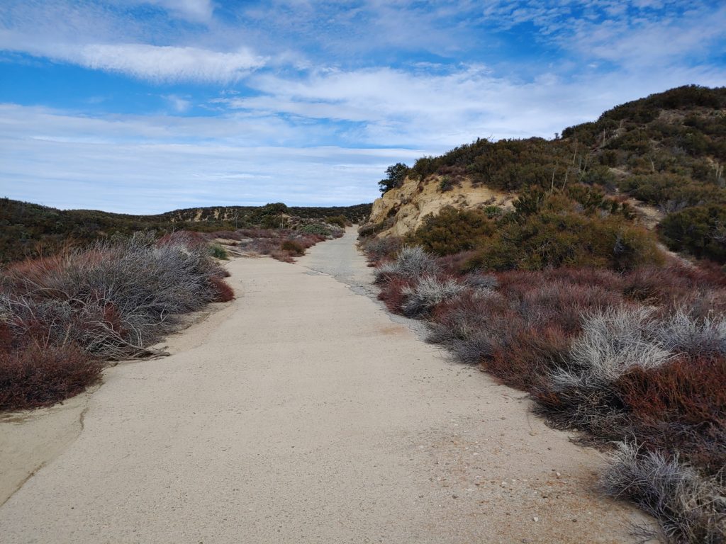
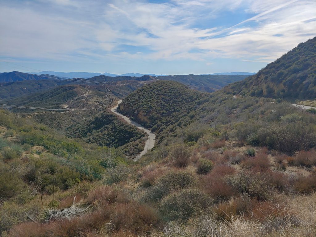
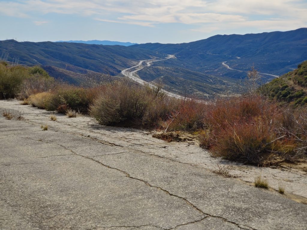
Since we can’t go on the road, at least for now, why not see it through photos? I have a large collection of photos I’ve taken of the road over the years and love to share. Tell us what your favorite point on the Ridge Route is? Mine is the section between Reservoir Summit and the Tumble Inn. It has some of the best concrete and views along the entire road. It is also far away from any other road, allowing for the ability to just stop and relax, hearing nothing but nature.
March Update – Part 2
Due to the ongoing crisis, our events are on hold. We will resume our Clean Up The Ridge Route (CUTRR) events once things settle down. Hopefully, we can have one before the summer heat arrives. Our Ridge Route inspections will still continue unless there are further developments.
The Ridge Route itself is another issue. While the gates can be open on occasion for various reasons, the roadway is still officially closed. Once the roadway is officially open, we will make an announcement here, in addition to whatever the USFS does. As this is still the rainy season, please keep off the roadway during and after a rain storm. The roadway is fragile in places and driving it when the soils are wet can damage the roadway.
Thank you all for your continued support. We look forward to seeing you out there when we are able to hold an event again.
March 2020 Update
Things have been busy with the RRPO lately. Last month, I posted a request for a new RRPO Secretary. It didn’t take long to get a candidate. On Thursday, March 4, the board met to vote on this new secretary as well as a few other administrative issues.
So, we’d like to welcome our new RRPO Secretary – Richard Schwartz – to our board. We look forward to his help in keeping the Ridge Route in good repair and getting it fully open again.
We have also finally settled on a date for the next CUTRR. It will be held on April 25th, starting at 10 am. The meeting location is TBD as well as additional details regarding any requirements will be announced soon. If you’re interested in joining us, please let us know beforehand.
An event, which is also a fundraiser for the RRPO, is coming up this month. A trail race run, called the Ridge Route Ultra, will be held on Saturday, March 14. The event will go nearly the entire length of the roadway, from near Martin’s to near Neenach.
On Saturday, April 4 at 7 pm, I will be giving a presentation at the Ridge Route Communities Museum regarding the status of the Ridge Route and how others can help. For more information regarding the museum, click here!
As to the roadway itself, the gates are still closed, though the northern gate has been compromised. The USFS is aware of the problem and it will hopefully be fixed somewhat soon. The southern gate remains closed, so through travel is still not possible. A section of roadway, at the south end of the Reservoir Hill grade, has been undermined by pipeline work. Unfortunately, it is also a section which has nearly pristine concrete. We are working with the USFS to get this corrected as soon as possible. The northern end of the roadway, from the Liebre Maintenance Station to Sandbergs has sections of asphalt that are degrading. Hopefully, we will be able to get some patches repaired, which will go a long way to protecting the remaining sections.
New Secretary Needed for RRPO
We are presently seeking a new Secretary for our board of directors. The duties are fairly simple but are necessary to help fulfill our goals. We would need someone that can attend our board meetings (generally every two months and usually via teleconferencing with some in-person meetings), record minutes, keep records of RRPO membership, and assist where needed with other tasks. As we are now moving toward fairly regular events on the Ridge Route, this will be something we will need sooner than later.
If you are interested, let us know!
February 2020 Update
It has been an interesting time on the Ridge Route. So far, the monthly trips on the road have been quite productive. Over the weekend of January 18-19, I took a couple of trips up to the Ridge Route. On Saturday, I went by myself and took my motorcycle over the road as far as Reservoir Summit. It felt good to be back up on the Ridge. I used to spend many days up there just getting away from things. The road is quite peaceful and relaxing. Being able to stop anywhere to take photos was also nice. Few roadways of this caliber allow for this sort of privilege. Visibility was also good that day, which made for some nice photography.
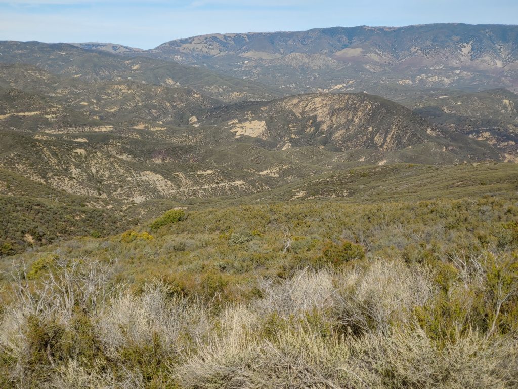
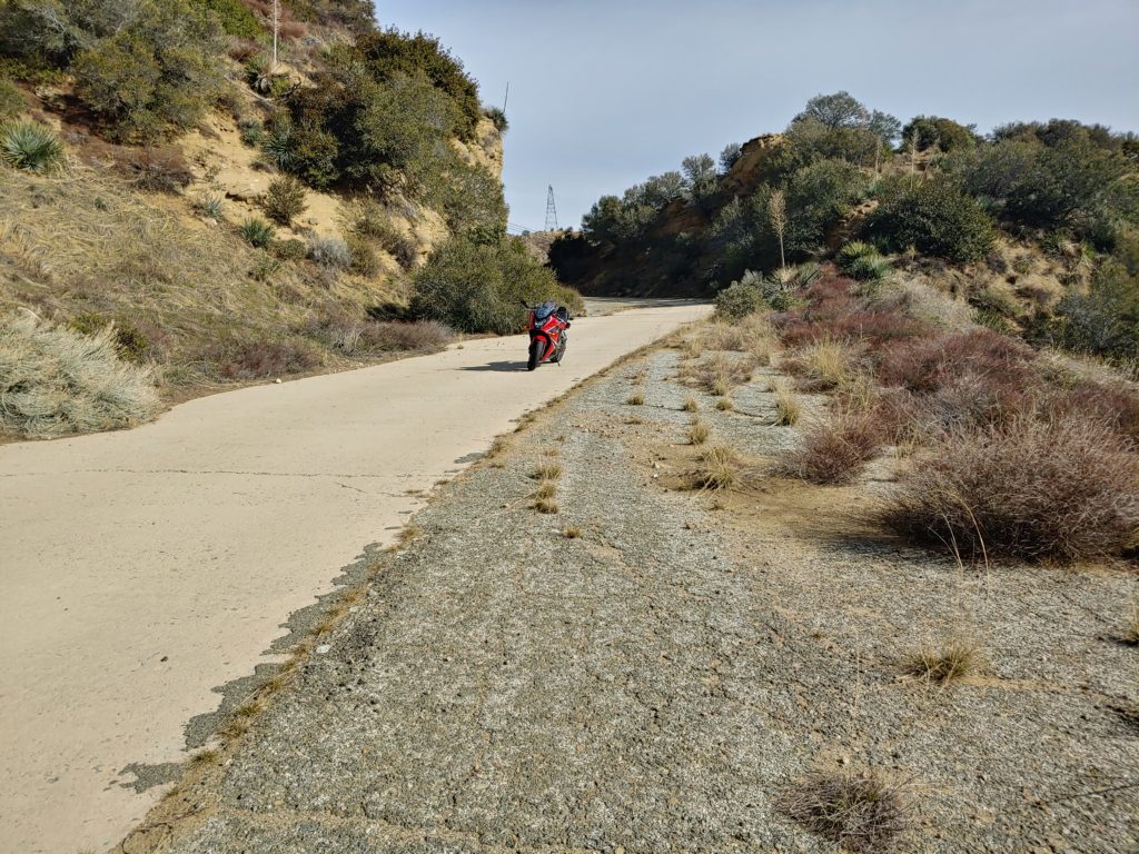
Sunday, I took another trip over the road from Castaic to Gorman with a friend. We took his car which, despite some clearance issues, made it over the road with little problem. I hope that, in light of these trips demonstrating the ability for various vehicles to traverse the roadway, that the USFS will open the roadway sooner than later.
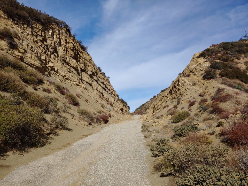
I was pleased to see that the road was holding up well, within the gates. I did find a few more culverts that were in need of clearing near the site of the largest 2005 landslide. Those will be dealt with later this year. Outside of the gates, particularly on the northern end between the Liebre Maintenance Station and Sandberg is a real mess to say the least. Some of the sections can be easily dealt with using a broom and a shovel. The parts that are more heavily damaged will be a lot tougher to deal with. Those sections, comprised of the 1920’s asphalt, are disintegrating and are in need of new asphalt to hold things together. We will be talking to the Forest Service on ways to do this.
